
Talbot County consists of two large watersheds, or drainage basins. The Chester (Wye, Miles) and Choptank (Tuckahoe, Choptank) river watersheds.

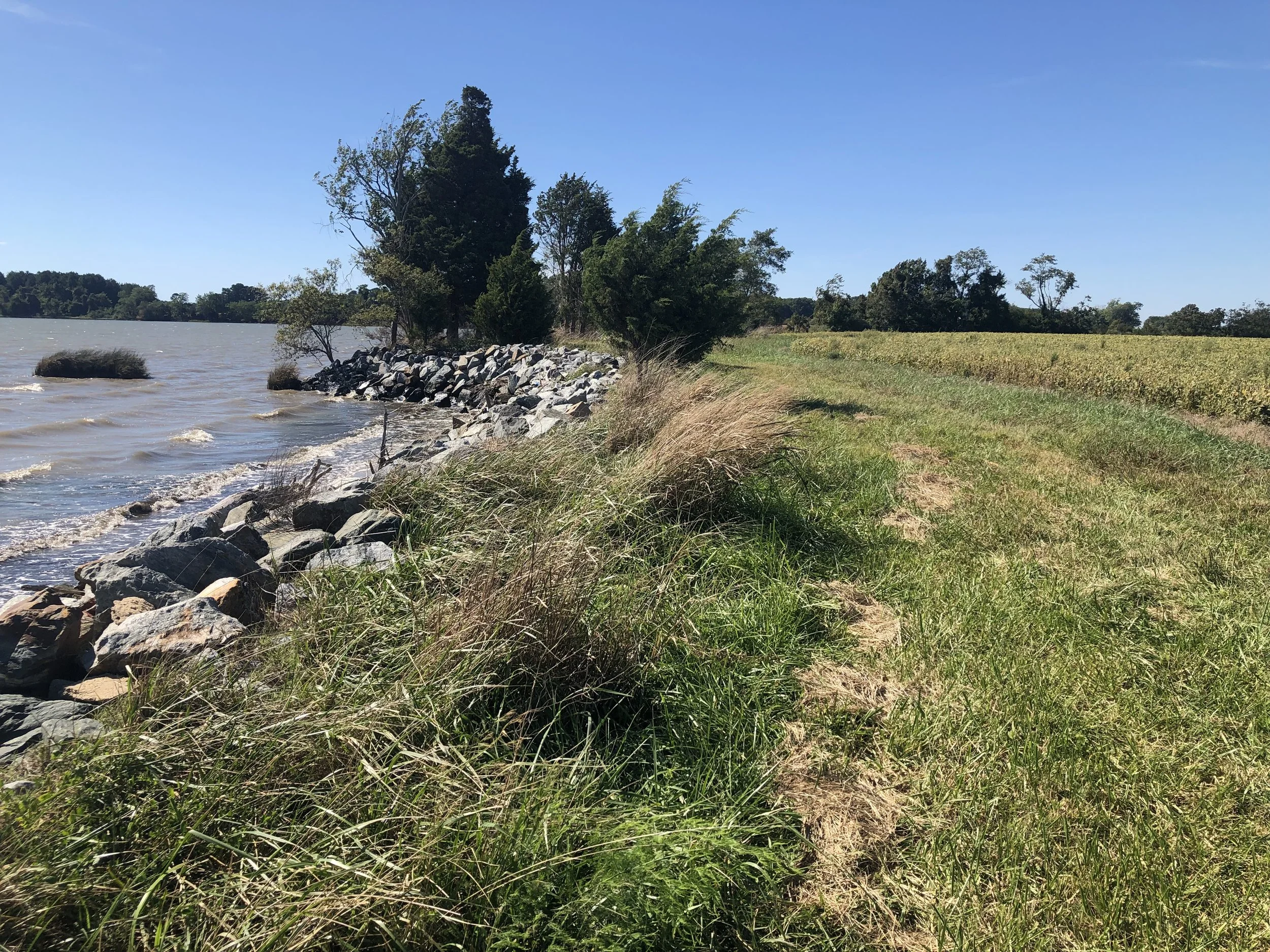
Photo credit - https://www.choosecleanwater.org/blog/2017/12/21/member-highlight-shorerivers
Choptank River Watershed
The Choptank River is a major tributary of the Chesapeake Bay on the Delmarva Peninsula. The watershed covers about 1,756 km² (675 mi²) and is dominated by working lands—approximately 58% agriculture (cropland and extensive poultry production), 33% forest, and 9% urban/developed area.
For local planning and tracking, the Choptank watershed is commonly grouped into the following sub-watersheds:
0082 — Upper Choptank
0083 — Lower Choptank
0084 — Tuckahoe
Chester River Watershed
The Chester River is another important Eastern Shore tributary to the Chesapeake Bay system, with a watershed spanning roughly 250,000 acres.
Locally, the Chester River Watershed is often broken out into these sub-watersheds:
0085 — Miles River
0086 — Wye River
0087 — Bay Hundred
Reference
[1] USDA-NRCS / Conservation Effects Assessment Project (CEAP), Choptank River Watershed final report.