
Talbot County consists of two large watersheds, or drainage basins. The Chester (Wye, Miles) and Choptank (Tuckahoe, Choptank) river watersheds.

Photo credit - https://www.choosecleanwater.org/blog/2017/12/21/member-highlight-shorerivers
Choptank River Watershed
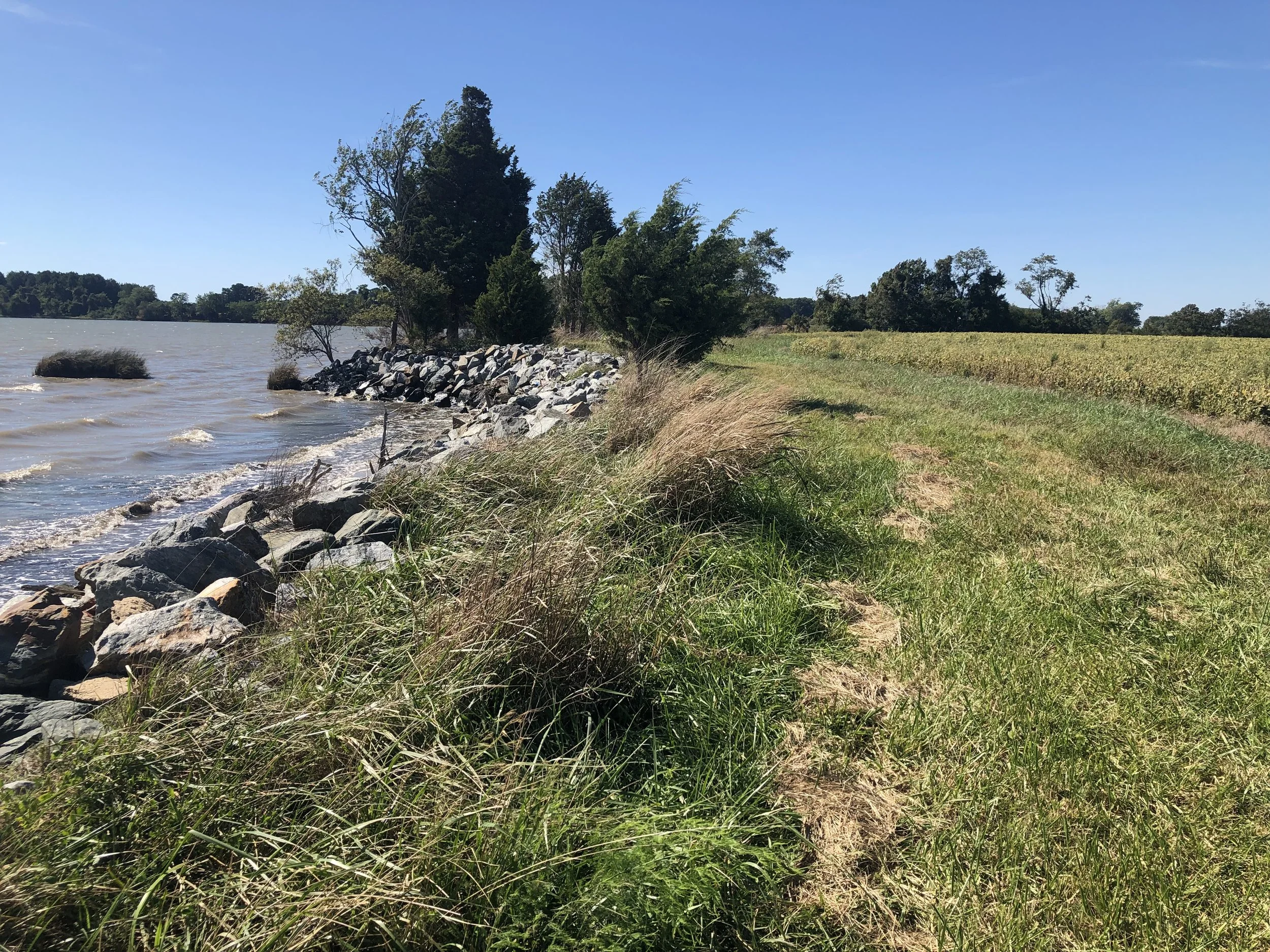
The Choptank River is a major tributary of the Chesapeake Bay and is located on the Delmarva Peninsula. The 1756 square km(675 square mi) Choptank River Watershed is 58% agricultural (cropland and extensive poultry production), 33% forested, and only 9% urban. [1]
0082 - Upper Choptank
0083 - Lower Choptank
0084 - Tuckahoe
Chester River Watershed
0085 - Miles River
0086 - Wye River
0087 - Bay Hundred
[1] - https://www.nrcs.usda.gov/Internet/FSE_DOCUMENTS/nrcs143_012911.pdf